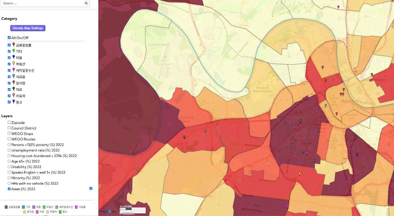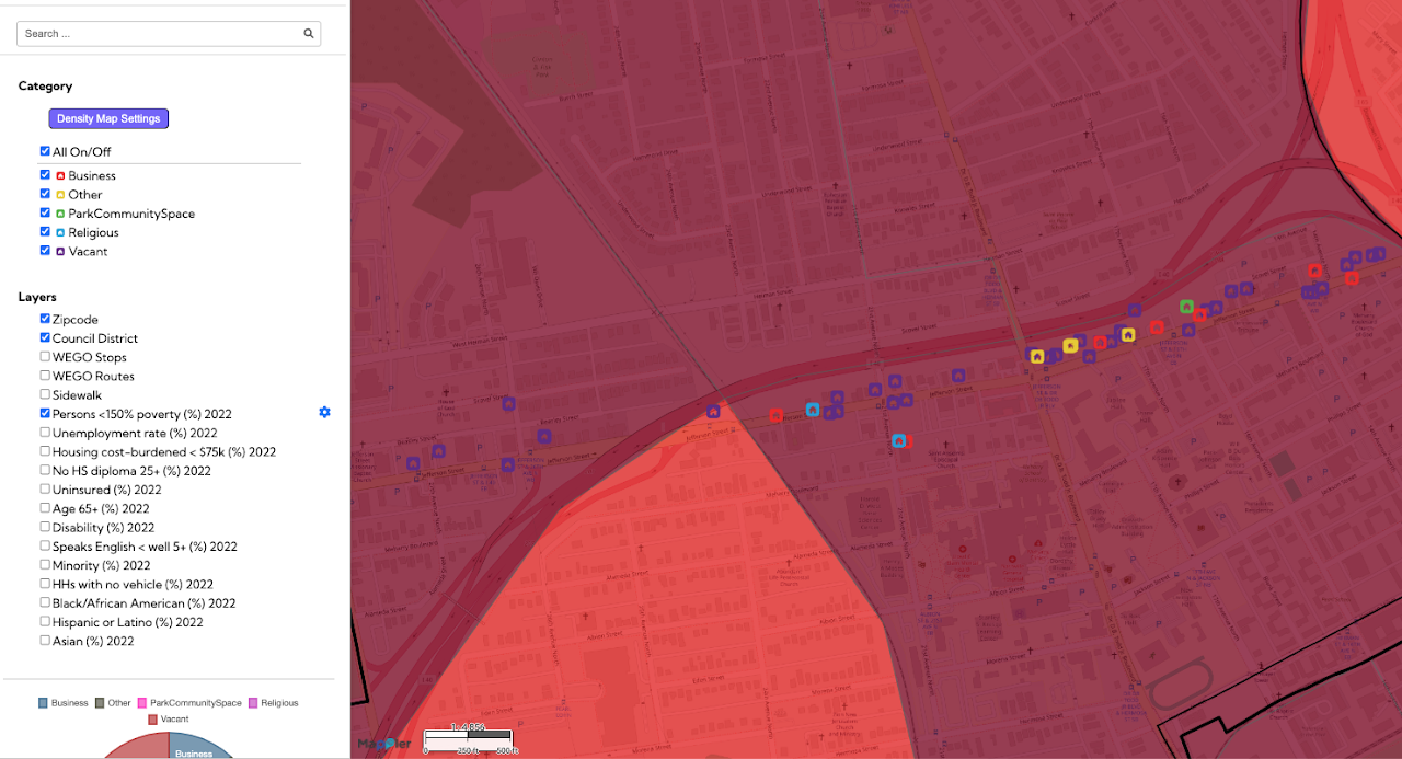
This Jefferson Street community mapping, a Public Interest Technology initiative, provides a detailed visual inventory of properties and land use along the historic Jefferson Street corridor in Nashville. The map documents various types of properties, including businesses, industry, vacant lots, and religious sites, showing where development or preservation is occurring. This information is crucial for community development as it helps residents and stakeholders understand the current landscape and identify opportunities for economic growth and cultural preservation. By providing comprehensive, location-based data, this mapping tool supports data-informed decision-making for future planning and investment in this vital community.