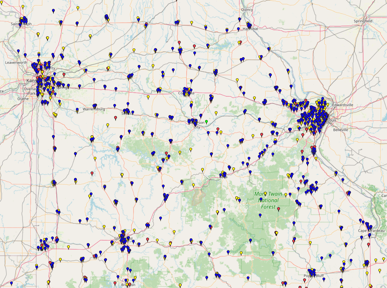
This map depicts the distribution of rural health care facilities across Missouri and neighboring states. It provides a spatial overview of healthcare infrastructure in rural areas, revealing both concentrated care zones and underserved regions.
This map depicts the distribution of rural health care facilities across Missouri and neighboring states. It provides a spatial overview of healthcare infrastructure in rural areas, revealing both concentrated care zones and underserved regions.
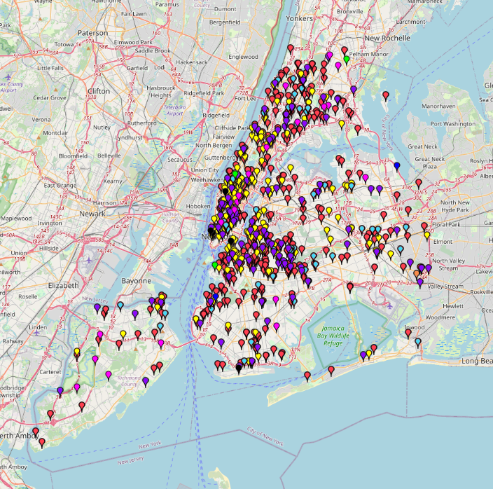
This map shows the types of structural accidents and where they occurred in New York City from 2014 to 2022. The incidents are categorized into 8 different types: Collapse, Collision, Construction
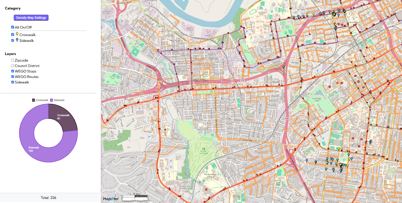
This Safe Routes to School / Pedestrian Safety map visualizes key elements of the walking environment near schools in Nashville, specifically highlighting the locations of sidewalks and crosswalks. By mapping these features alongside
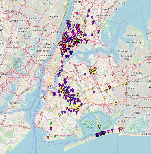
This map presents the locations of public cooling features that provide relief from extreme heat during heat emergencies. The data are categorized by the type of cooling feature available in