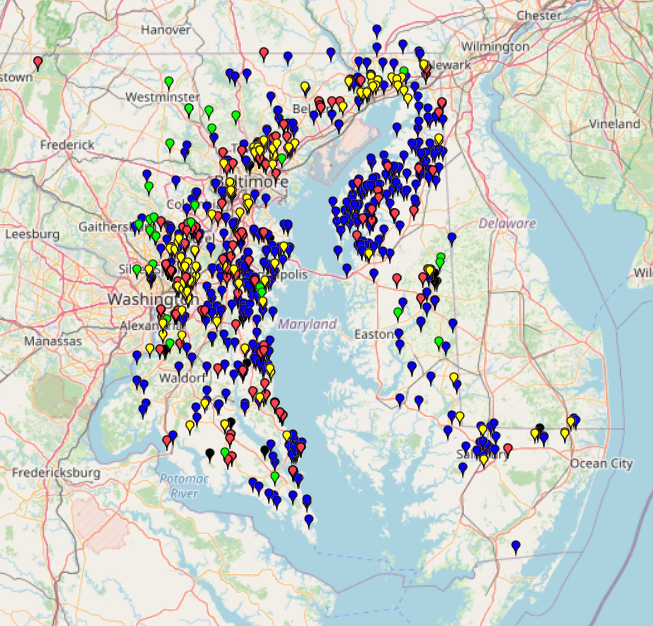
This map shows the Fish Blockage Locations around the Chesapeake Watershed.
The categories are divided into four types of fish blockages: Dam, Culvert, Weir, and others.
Data without latitude and longitude are excluded.
This map shows the Fish Blockage Locations around the Chesapeake Watershed.
The categories are divided into four types of fish blockages: Dam, Culvert, Weir, and others.
Data without latitude and longitude are excluded.
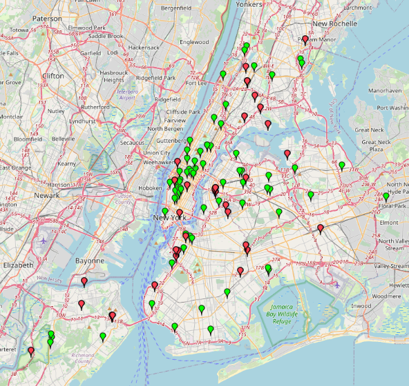
A list of locations where NYC residents can drop off unwanted electronics and materials such as metal scraps. The locations are categorized by their service hours (whether they are open