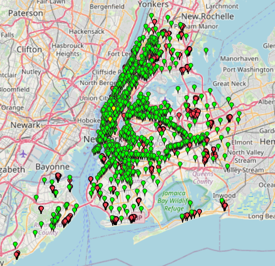
This map provides information about free Wi-Fi locations in NYC.
Data without specific names has been excluded.
The Wi-Fi categories are divided into Fully Free, Limited Free, and Partner Site Wi-Fi.
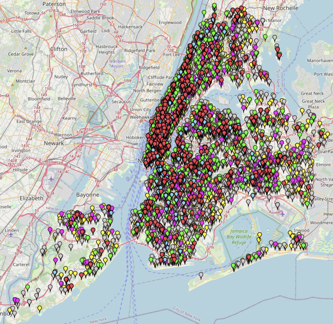
This map provides information about free Wi-Fi locations in NYC.
Data without specific names has been excluded.
The Wi-Fi categories are divided into Fully Free, Limited Free, and Partner Site Wi-Fi.
This map visualizes 311 complaints related to public urination across New York City from 2010 to 2025. The map can be used to identify high-frequency areas, evaluate the effectiveness of
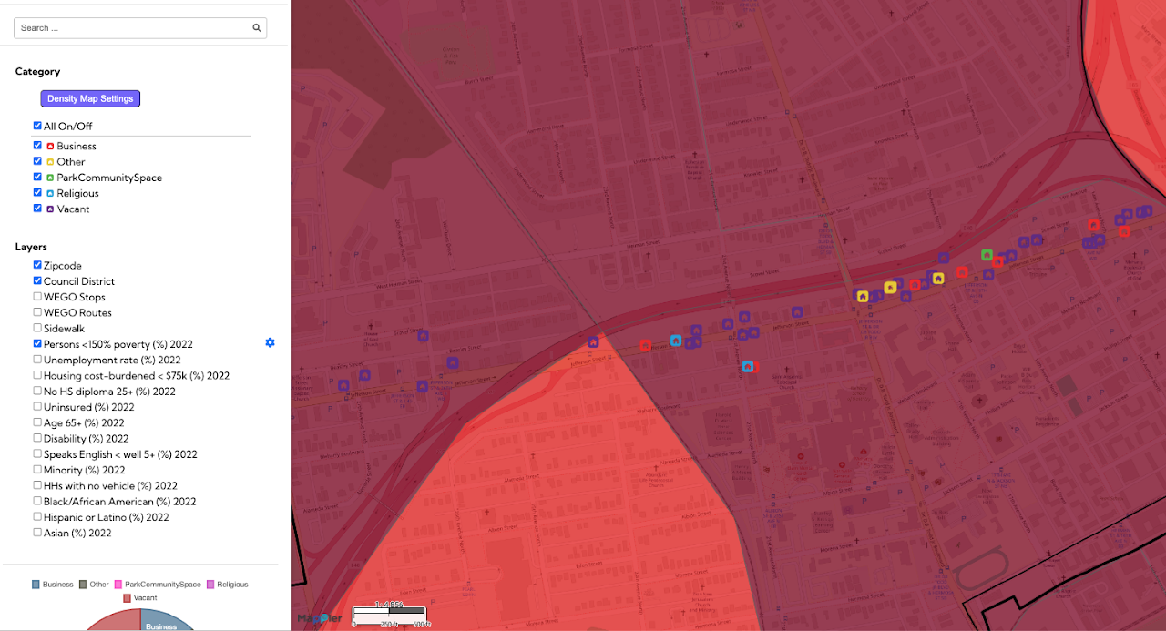
This Jefferson Street community mapping, a Public Interest Technology initiative, provides a detailed visual inventory of properties and land use along the historic Jefferson Street corridor in Nashville. The map
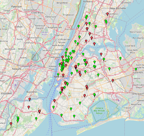
A list of locations where NYC residents can drop off unwanted electronics and materials such as metal scraps. The locations are categorized by their service hours (whether they are open