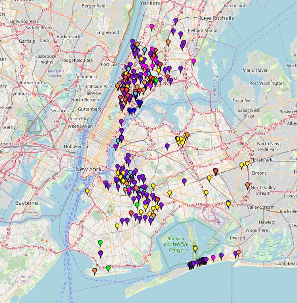
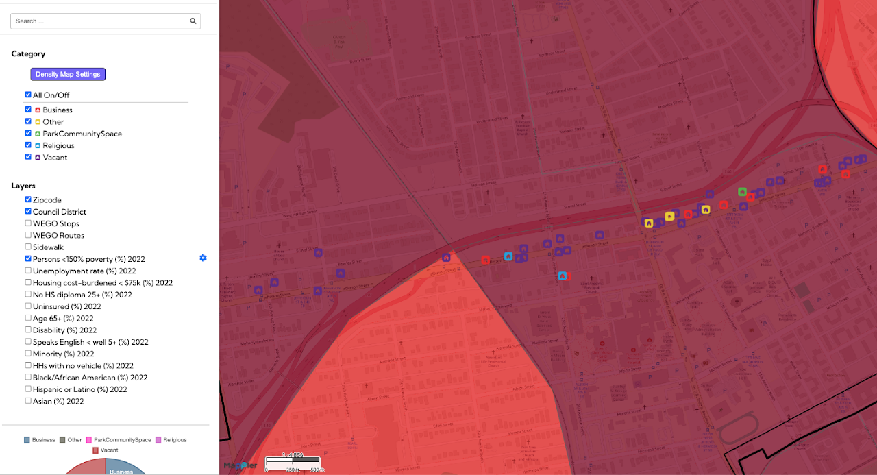
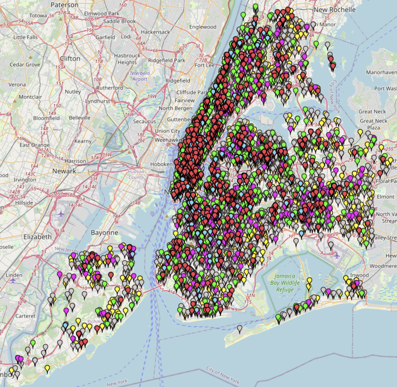
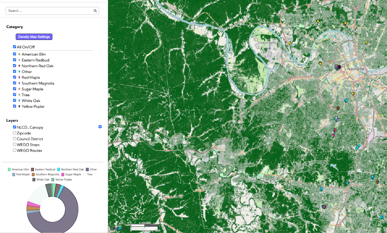
This Nashville Tree Mapping project, a Public Interest Technology initiative, provides a detailed geographic record of trees and green spaces within a specified urban area of Nashville. By visualizing the location and presumably the characteristics of the tree canopy, the map supports greater environmental awareness of the city’s vital urban forest. This data is significant for urban communities because trees contribute to air quality, reduce the heat island effect, and improve overall neighborhood health and well-being. Ultimately, this mapping tool is an essential resource for planners, advocates, and residents, directly supporting sustainability goals and guiding future efforts in urban forestry and green infrastructure development.
Nashville Tree Mapping

Related Post

Nashville Food Resources MapNashville Food Resources Map
The Nashville Food Resources map, developed with The Nashville Food Project, provides a clear picture of where all food sources are located in the city—from groceries and farmers markets to pantries and

Electronics & Metals Drop Off Locations in NYC 2025Electronics & Metals Drop Off Locations in NYC 2025
A list of locations where NYC residents can drop off unwanted electronics and materials such as metal scraps. The locations are categorized by their service hours (whether they are open

NYC Juvenile Offenses 2025: Crime Mapping by TypeNYC Juvenile Offenses 2025: Crime Mapping by Type
“NYC Juvenile Offenses:Crime Mapping by Type” is a map based on NYPD Arrest Data 2025 data in New York City. It visualizes child abuse, abandonment, luring and sexual offenses by crime