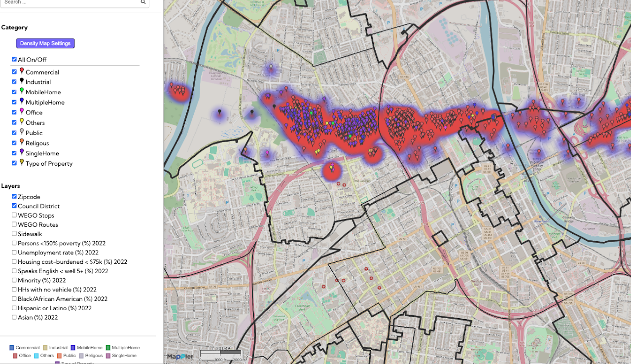
The Nashville Tornado 2020 Post-Assessment map provides a detailed geographic record of property conditions following the devastating 2020 tornado. This initiative tracks vital recovery metrics, categorizing locations as rebuilt, renovated, repaired, or demolished, while also identifying sites that remain unchanged or in need of survey. Student volunteers, including those from the Master of Public Health (MPH) program, played a critical role in collecting this field data to support long-term disaster resilience and community recovery efforts. For impacted residents, this information is essential for understanding the pace of neighborhood renewal and ensuring that resources reach the most vulnerable areas. By visualizing recovery progress alongside socioeconomic layers like unemployment and vehicle access, the map serves as a powerful tool for data-informed preparedness and future disaster response planning.