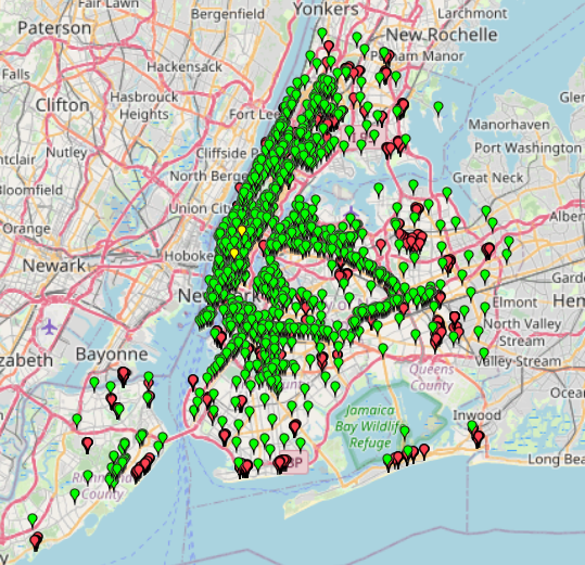
This map provides information about free Wi-Fi locations in NYC.
Data without specific names has been excluded.
The Wi-Fi categories are divided into Fully Free, Limited Free, and Partner Site Wi-Fi.
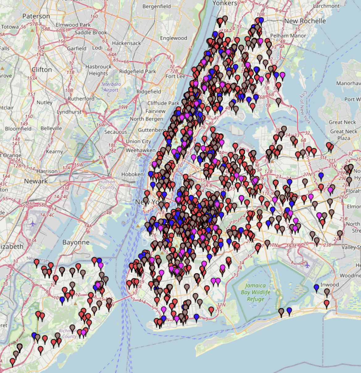
This map provides information about free Wi-Fi locations in NYC.
Data without specific names has been excluded.
The Wi-Fi categories are divided into Fully Free, Limited Free, and Partner Site Wi-Fi.
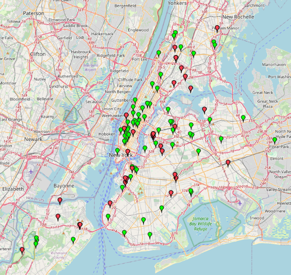
This dataset captures 311 service requests related specifically to rodent activity reported by New York City residents between July 2 and July 17, 2025.This data offers insight into spatial and
A list of locations where NYC residents can drop off unwanted electronics and materials such as metal scraps. The locations are categorized by their service hours (whether they are open
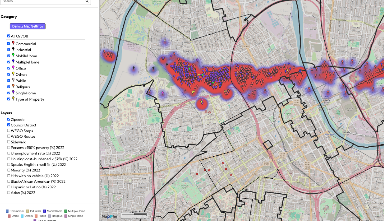
The Nashville Tornado 2020 Post-Assessment map provides a detailed geographic record of property conditions following the devastating 2020 tornado. This initiative tracks vital recovery metrics, categorizing locations as rebuilt, renovated, repaired, or demolished, while