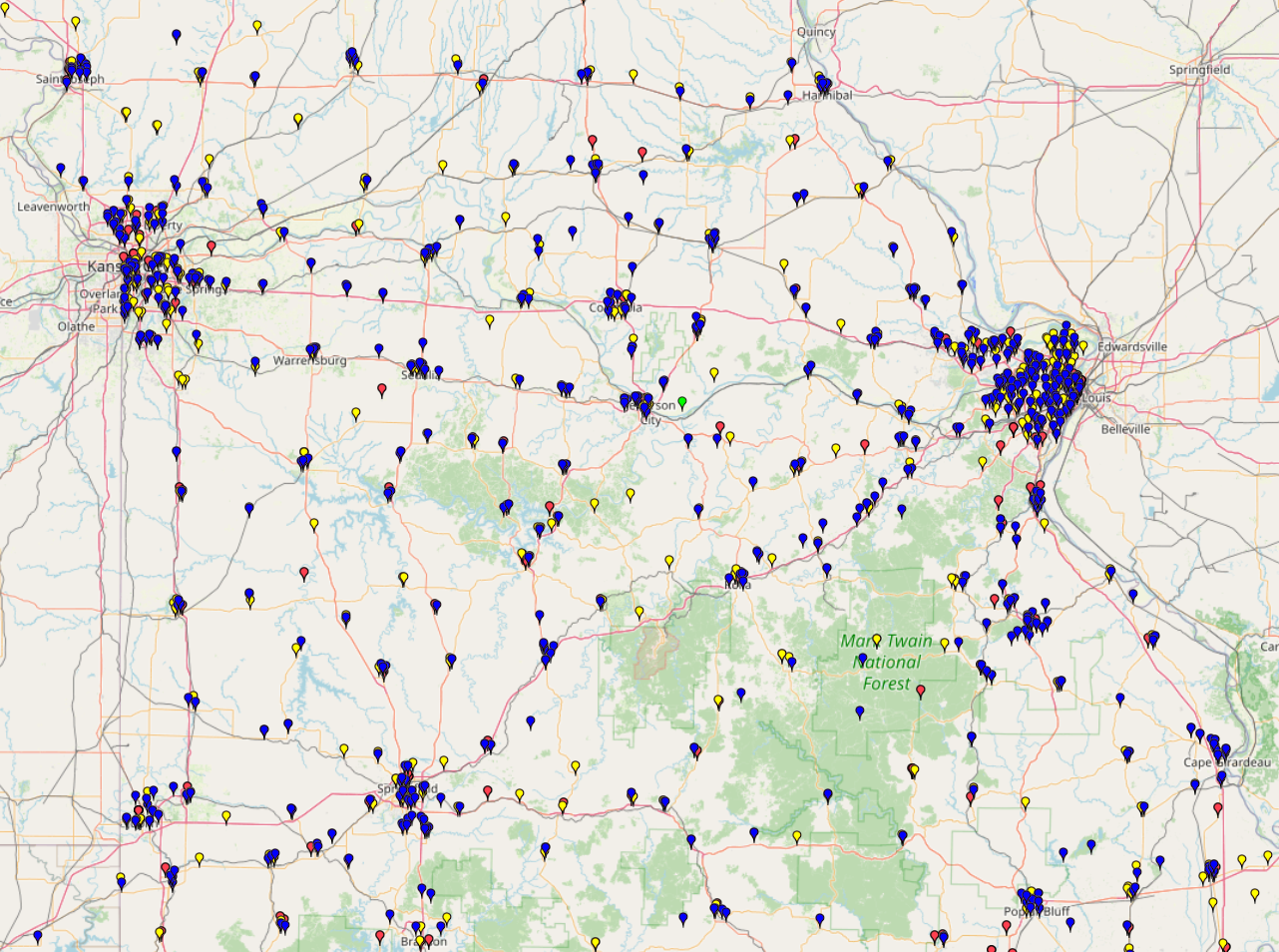
This map depicts the distribution of rural health care facilities across Missouri and neighboring states. It provides a spatial overview of healthcare infrastructure in rural areas, revealing both concentrated care zones and underserved regions.
This map depicts the distribution of rural health care facilities across Missouri and neighboring states. It provides a spatial overview of healthcare infrastructure in rural areas, revealing both concentrated care zones and underserved regions.
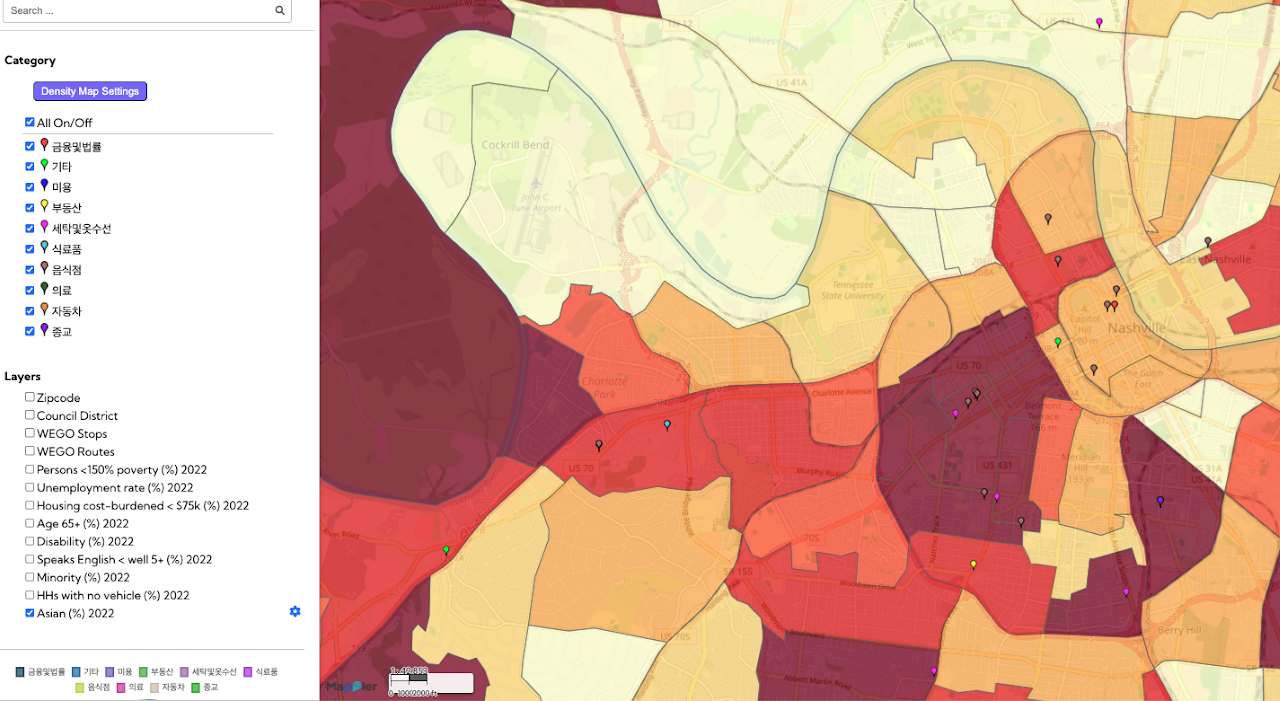
This Korean Community Resource Mapping project visually documents a variety of resources essential to Nashville’s Korean community. The map includes key cultural and social support assets such as restaurants, ethnic groceries, churches, and
This map presents the locations of public cooling features that provide relief from extreme heat during heat emergencies. The data are categorized by the type of cooling feature available in
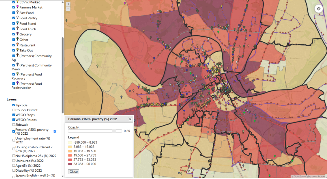
The Nashville Food Resources map, developed with The Nashville Food Project, provides a clear picture of where all food sources are located in the city—from groceries and farmers markets to pantries and