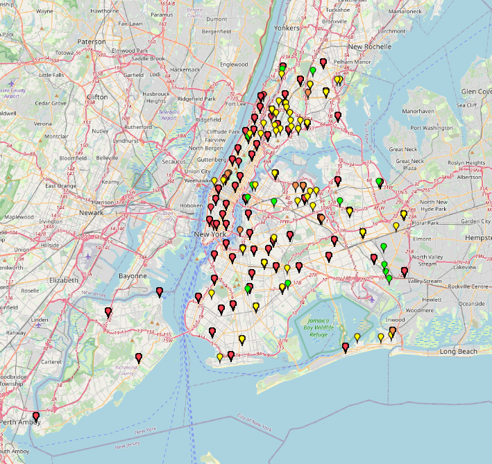
“NYC Juvenile Offenses:Crime Mapping by Type” is a map based on NYPD Arrest Data 2025 data in New York City. It visualizes child abuse, abandonment, luring and sexual offenses by crime
Category: Public Safety
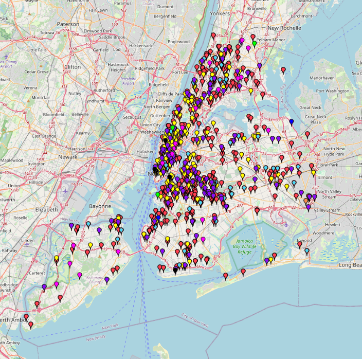
NYC Structural Accident Response Map by Type (2014-2022)NYC Structural Accident Response Map by Type (2014-2022)
This map shows the types of structural accidents and where they occurred in New York City from 2014 to 2022. The incidents are categorized into 8 different types: Collapse, Collision, Construction
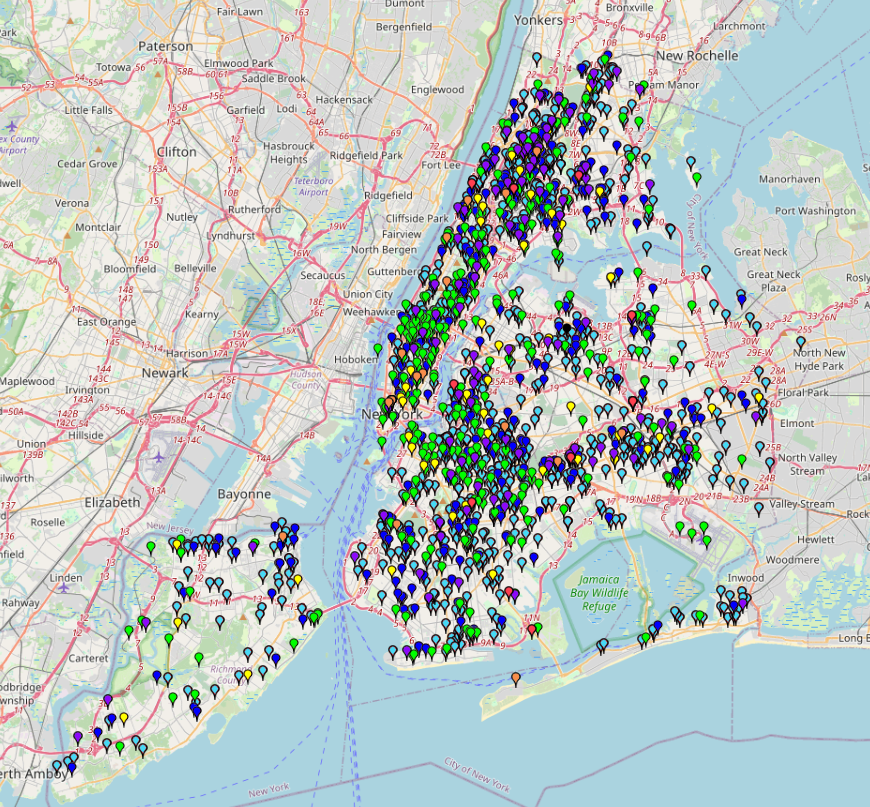
New York’s Fire Hotspots by Alarm Level (2014–2022)New York’s Fire Hotspots by Alarm Level (2014–2022)
This map shows fire response incidents in New York from 2014 to May 2022. You can see when and where fires occurred, as well as the types of alarm levels